
Map Index
County Maps
The County of Chester offers a searchable county map with parcel information, aerial imagery from various years, and printing options. Explore Chester County and quickly find useful information with ChescoViews.
Chester County's GIS HUB is about connecting, collaborating and sharing GIS data to keep our citizens informed. Access Map/Apps Gallery and downloadable data.
CCPC's Map Index
This map index provides links to maps created by the Planning Commission that are available to the public for information purposes only. Chester County makes no warranty, expressed or implied, regarding accuracy, completeness, or usefulness of the mapped information. Users of this information assume all liability for its fitness for a particular use. The index is categorized by planning topic. For older maps, visit our Archived Maps page.
Agriculture
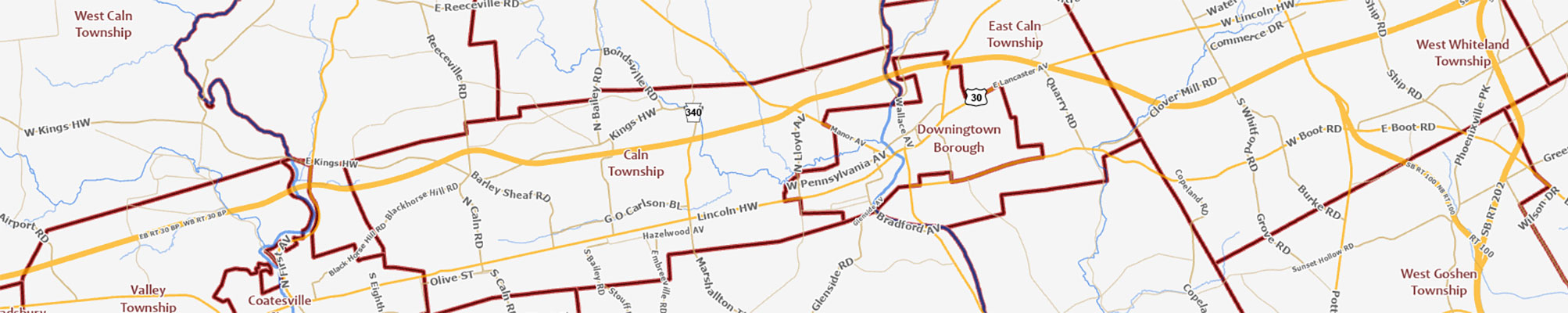
Community Facilities
Comprehensive Plan — Landscapes3
- Landscapes Map and Overlays
- How We Preserve — Farmland preservation opportunities
- How We Preserve — Conservation clusters and corridors
- How We Protect — Natural resource priority protection areas
- How We Appreciate — Historic themes
- How We Live — Recreation access
- How We Connect — Circuit trails
- How We Connect — Public transit enhancements
- How We Connect — Roadway network focus areas
- How We Connect — Coordinated water, sewer, and land use
Economic Development
- Development projects and opportunities in the City of Coatesville (2nd Century Alliance)
- Opportunity sites located along the PA 724 corridor (Economic Development Council)
- Opportunity sites located along the US 1 corridor (Economic Development Council)
Environment
- Natural Resources Inventory Interactive Map
- Floodplains and Hydric Soils
- Geology and Mining
- Streams
- Topography
- Watersheds
- Wetlands and Sensitive Habitats
- Water Resource Authority Interactive Maps
- Water Resource Authority Printable PDF Maps
Government
Historic Preservation
- Brandywine Battlefield Preservation Plan Mapping
- Cultural Heritage Interpretive Regions
- Interactive National Register Listed Resources and Districts
- National Register Eligible and Listed Historic Resources and Districts
Housing
Land Use and Development
Open Space
- Protected Open Space Tracking
- Protected Open Space as of December 31, 2024
- Protected Open Space as of December 31, 2023
- Inventory of Open Space Plans, Programs, and Ordinances
Population and Demographics
Transportation
- Chester County Ride Guide (updated 2023)
- Chester County Trailfinder
- Interactive Transportation Improvement Inventory (2023)
- Interactive Circuit Trails
- Current and Historic Rail Lines
- Major Transportation Routes and Facilities
- Traffic Volumes (2015)
Utilities and Infrastructure
- Municipal Directory for Sustainability Innovations
- Pipeline Mapping
- Energy Infrastructure
- Sewer and Water Infrastructure