

Protected Open Space Tracking
Each year the Planning Commission asks each municipality and non-profit land trust to submit information on parcels of land that have been protected within the past year. Start a form to submit this information.
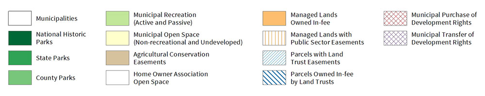
Protected Open Space Map
The map below represents the parcels of protected open space within Chester County that were protected by public and private organizations as of December 31st of 2023. For detailed information about a parcel contact the Chester County Recorder of Deeds and provide them with the parcel number of the property you wish to investigate. The Recorder of Deeds will also be able to help you locate a deed and determine if it is protected by a land conservation easement.
Download the county-wide Protected Open Space Map (as of December 31, 2023).
Visit our map gallery and view more maps.
Annual Protected Open Space Report
Each year the Planning Commission estimates the amount of total protected open space within Chester County and compares it to estimates from the past ten years. View the most recent Annual Protected Open Space report.
Preserved Open Space Database
Each year the Planning Commission generates a listing of all of the parcels of protected land in each Chester County municipality as of December 31, 2019, including those with agricultural or conservation easements. This listing presents the municipalities and their protected parcels in alphabetical order. You can scroll down to find your municipality. View the most recent listing of all parcels of protected land. For more detailed information about a specific parcel, contact the Chester County Recorder of Deeds and provide them with the parcel number of the property you wish to investigate. For specific information about an easement, contact the easement holder, such as the Land Trust, directly.
Funding
If your municipality or non-profit is interested in applying for county funded grants to create parks or trails, or if you are a farmer wishing to preserve your land, contact the Chester County Department of Parks and Open Space Preservation.