

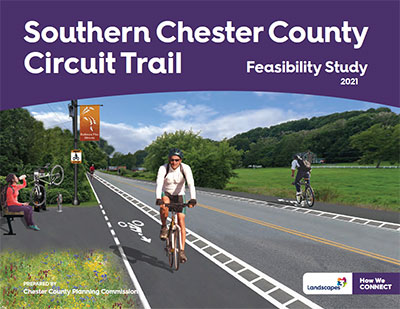
Southern Chester County Circuit Trail Feasibility Study
 Final Plan
View or download a PDF copy of the Southern Chester County Circuit Trail Feasibility Study. Please direct questions or comments about the study to Rachael Giffith at rgriffith@chesco.org.
Project Description
This project was identified in Landscapes3, the County's comprehensive plan, which recommends creating a county-wide, interconnected trail network. Public input received throughout the Landscapes3 update process showed an interest in recreational trails in the southern part of the county, as well as a need for safe active transportation options, particularly for employees of southern Chester County's mushroom industry to commute to and from work.
The goal of this project is to determine the feasibility of a multi-use trail that would connect the communities in southern Chester County situated along the US 1 corridor to the Circuit, the Greater Philadelphia area's network of interconnected multi-use trails. Until recently, an active freight rail corridor that spans southern Chester County from Chadds Ford to Nottingham known as the Octoraro line was shown as a trail on the Circuit Trail Map. Because of the rail corridor's active status and narrow width, the Octoraro line is not an available option. This project seeks to identify an alternative trail alignment to the Octoraro line. The Chester County Planning Commission obtained funding through DVRPC's Regional Trails Program to conduct this study.
Study Area

To center the study's geographic focus on the population centers in southern Chester County, the study area's boundary was loosely defined within a one-mile buffer of Baltimore Pike, a road that passes through the center of each borough and village. The US 1 Expressway served as the northern boundary of the study area since it would serve as a major barrier between the population centers and a proposed trail facility north of the expressway.
Early in the planning process the project team identified interest in studying potential connections between Oxford and Nottingham County Park as well as a connection to a potential future rail-trail in Cecil County, MD. The study area was then expanded to include these destinations.
Inventory and Analysis
Over the course of the study, the project team assessed nearly 130 miles of potential trail alignments for their suitability to become a regional multi-use trail. Potential alignments were identified through GIS review, field views, and through extensive public engagement process that included meetings with a Project Advisory Committee, two online public meetings, a public survey, key person interviews, and focus group discussions. The lack of an east-west utility or inactive rail corridor coupled with a lack of connected tracts of public property makes the establishment of such an alignment challenging. Two main alignment options emerged through the study - an alignment along Baltimore Pike and an alignment along the US 1 Expressway. The study revealed that although both routes would have some value for both transportation and for recreation, the Baltimore Pike route would have the most value as a transportation route and the US 1 route would have more recreation value.
Findings and Recommendations
After a thorough analysis of these two primary options, the project team determined it would not be feasible to develop a continuous multi-use trail along the entirety of either the Baltimore Pike or US 1 corridors. The most significant constraints leading to this determination are the extensive impacts on private property the proposed alignments would require and high development costs. However, a multi-use trail may be feasible to develop along portions of these corridors where it would be most valuable. The Recommendations section in the report shares locations where multi-use trails are recommended along both of these corridors, as well as other projects that were identified throughout the course of the study that would have significant value to the overall trail network in southern Chester County.
Recommended Trail Alignments
