

Access
A public kiosk is available in the Planning Commission's lobby that enables users to print aerial photographs for any location in the County.
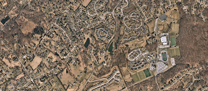
Aerial imagery is available from the following years: 1937, 1965, 1970, 1975, 1980, 1985, 1990, 1993, 1995, 2000, 2005, 2008, 2010, 2014, 2015 and 2017). The imagery from 1937 through 2000 is black and white while the imagery from 2005 through 2017 is in color. Aerial photographs created since 1990 were created from the digital orthophotography process and have a higher resolution.
Access to the public kiosk is available Monday through Friday 9:00am to 4:00pm.
See ChescoViews for an interactive map that provides an alternative online printing option and tools for further understanding parcels in Chester County.
Please note that the Planning Commission is unable to provide measurements from aerial photographs.
Printing Costs
Prints are $5.00 for 11" x 17" format and $15.00 for 32" x 36" format.
PDF copies are available upon request free of charge.
Acceptable forms of payment:
- Checks made payable to the "County of Chester"
- Visa/MasterCard
- Cash (bills over $20 not accepted)